Events Calendar

The 2025 Spring 6 and 12 hour Bondo rogaines was held at Bondo State Forest, east of Tumut, NSW.
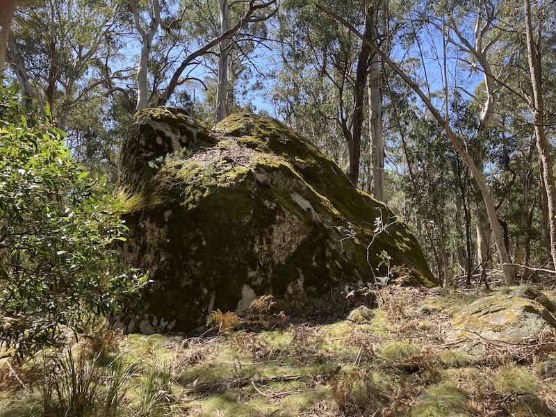
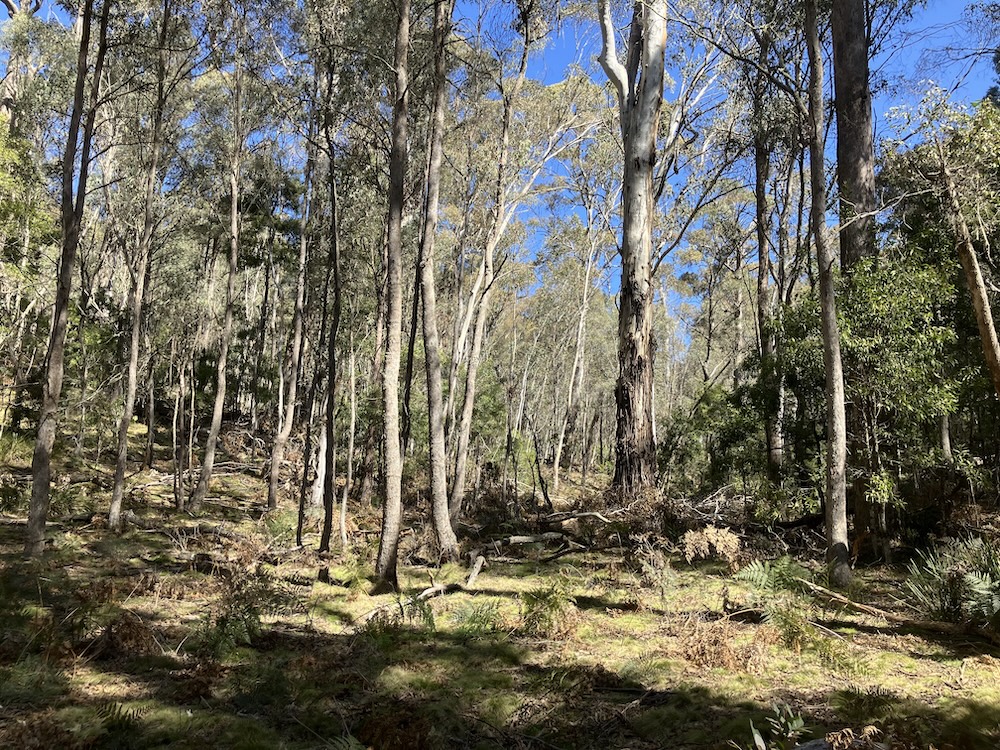
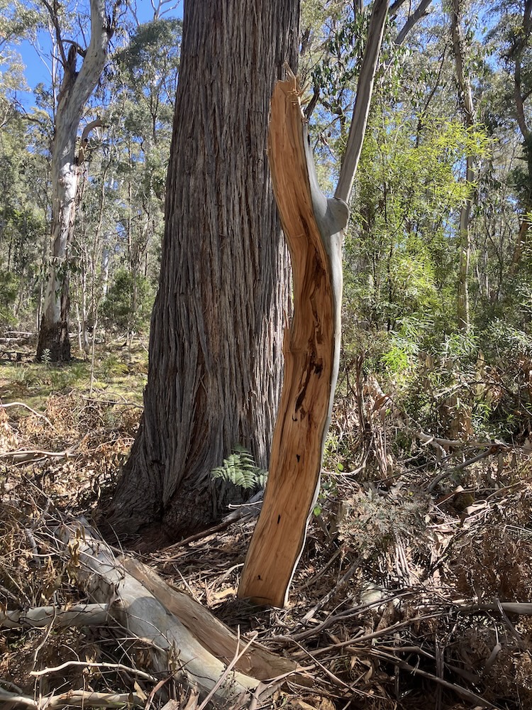
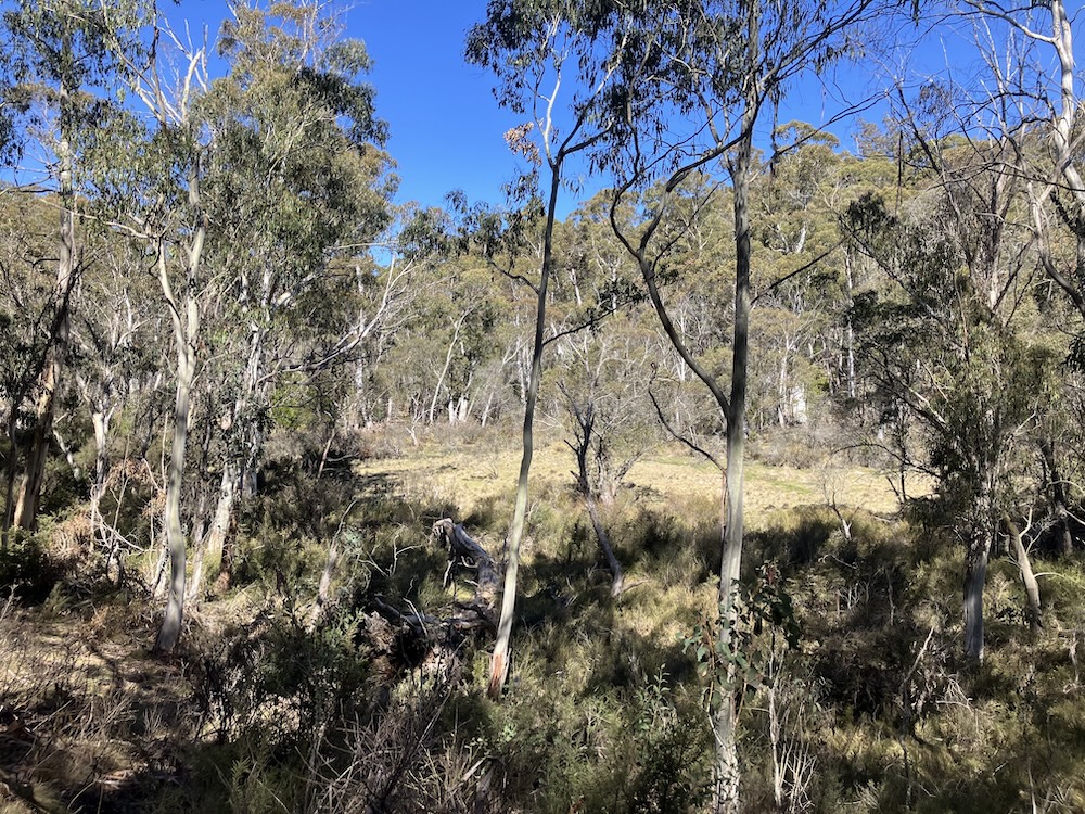
The area features a mix of native and pine forest. The course has been designed with to provide easier routes that use the well-defined features, and more challenging loops for those looking for a physical and navigational challenge. If you want a bit of a peek at some of the forest, check out the photo gallery from the setters (link below).
The starts of the events will be at 11am. The six hour will finish at 5 pm, and 12 hour will finish at 11 pm. This is a good event to step up to a 12 hour as there will only be about 2:40 hrs of dark.
Entry cost is $70 for full and $56 for concession. Under 14 free. No solo entries for this event - teams of 2 to 5 people.


rogaine-results.com results + tracks
Final Instructions
Thank you for entering the 2025 Spring 6/12hr Bondo to the Rescue rogaine. Team leaders, make sure that everyone on your team reads this whole document carefully.
Important
Driving on Brindabella Road you will encounter a LOT of wildlife, particularly wallabies but possibly also kangaroos, livestock, deer, horses and wombats. Slow down if you don’t want a dent in your car and be responsible for an injured animal.
Please bring a Personal Locator Beacon (PLB) or similar (e.g. Garmin Inreach) if you own one. There is NO mobile reception on the course.
Please bring water purification tablets (e.g. micropur) or filter so you can collect water from the creeks. We will have some Katadyn Micropur Forte Tablets for sale at $2.00 for five if you bring the right amount of cash with you.
Indemnity Form
Please bring to the event a printed and completed indemnity form located here. Check the team list for your relevant sub-event (6 or 12 hr) to ensure that all details for your team including category are correct. If incorrect, please contact Julie Quinn (see below for contact details) by next Thursday. We can make corrections on the day, but it is easier if you tell us before we load the laptop and print the registration sheets.
- Ensure that all team members sign a separate indemnity form. Parents or guardians must sign for people under 18. Also provide registration number(s) of your car(s) at the Hash House. Be sure to put your team number on the form.
- Present your completed indemnity form at the registration desk.
- Medical advice: All competitors should consider advising their partner of any pre-existing medical conditions (such as diabetes, asthma, epilepsy, susceptibility to anaphylaxis) that may require first-aid action while on course. This should include a description of the symptoms, the required first-aid action, and the location in their bag of any medication (such as sugar, ventolin, epi-pen, anti-histamines).
How to Get There
The Hash House is located at a clearing between the pine forest and native forest on Barnetts Road in the Bondo State Forest. Direction signs will be put out on Friday from Brindabella Road intersection with Barnetts Road.
There are many animals on the road so please just take it easy and allow yourself that extra bit of time to drive a bit slower.
DO NOT take Powerline Road or any of the other roads that Google might suggest as an alternative route. Come into the Hash House off Brindabella Road via Barnetts Road only.
From Canberra - allow approximately 1.5 hrs.
Take Cotter Road to the Cotter. Cross the Murrumbidgee River and take the first right onto Brindabella Road.
Follow Brindabella Road for 7 km to the T intersection with Uiarra Road. Turn left (note, turning left is still called Brindabella Road).
Follow Brindabella Road for 53 km. The sealed road will become dirt about 9.5 km, over the Brindabellas at Piccadilly Circus at 17.8 km, across the Goodradigbee River at 28.5 km, Boundary Road at 39.3 km (DO NOT TAKE THIS!!). Watch out for livestock as you go through the unfenced farm after the cattle grid.
Turn left into Barnetts Road. This is signposted and is a large gravelled road with a hard left turn.
Follow Barnetts Road for 4.3 km to the Hash House. It will change from gravel to dirt about half way. There are a couple of pot-holes/puddles close to the Hash House which you should slow down for. This road is fine for 2WD cars.
From Sydney - via Tumut, approximately 4:45 hrs.
The most straightforward route with the greatest amount of sealed road (all except about the last 5 km) is to drive to Tumut. Allow approximately 40-45 mins from Tumut.
From Tumut take the Wee Jasper Road in a north-east direction for 2.7 km.
Turn right onto Bombowlee Creek Road. Follow for 18.5 km.
Continue onto Brindabella Road. Follow for 20.7 km.
Turn right into Barnetts Road. This is signposted and is a large gravelled road.
Follow Barnetts Road for 4.3 km to the Hash House. It will change from gravel to dirt about half way. There are a couple of pot-holes/puddles close to the Hash House which you should slow down for. This road is fine for 2WD cars.
From Sydney - via Wee Jasper, approximately 1:45 hrs (98km) from Yass
From the Hi-Way Motor Inn in Yass, head south on Grand Junction Rd through 1 roundabout onto Green St which becomes Wee Jasper Rd.
After about 25km turn right to stay on Wee Jasper Rd passing through Wee Jasper and a left turn at Caves Rd.
After 13km turn left onto Wee Jasper Forest Rd (gravel), then follow it for 22km (all gravel) and turn left onto Brindabella Rd (sealed).
After 7km turn right onto Barnetts Rd and follow it for 4.3km to the HH. It will change from gravel to dirt about half way. There are a couple of pot-holes/puddles close to the Hash House which you should slow down for. This road is fine for 2WD cars.
Registration, Map Availability, Start Times
The Bondo to the Rescue Rogaine will commence by way of a mass start at 11 am on Saturday 15 November 2025 for both the 6 and 12 hr events. Final briefing will be at 10:50 am. Registration will open at 8:30 am.
To register, one person only per team to register and collect maps. That person will need to:
- Bring first aid kit, so that it can be checked; see below for what it must contain
- Bring one completed indemnity form per team member.
If you don’t have all your team-mates, you can still register and get a map to start planning. We will issue your navlight scoring tags once all your team is present and we have all your indemnity forms.
Electronic scoring: As this event is using the Navlight system of scoring, each team member will be issued with a wristband and tag upon registration. Please be careful not to lose the tags as they are an expensive, custom-made item.
You will also be given pre-marked maps, control descriptions, course setter's notes and a small copy of the map to be used as a flight plan. We recommend that you arrive at least an hour prior to the start of the event to allow enough time for final preparations and route planning. Each team must mark their intended route on the flight plan and hand it in before starting. You do not have to stick to the intended route but the flight plan helps us decide where to start a search if you fail to return.
Map and Course Details
There will be one A3 map (320 x 450 mm), 1:25,000 with 10 m contour interval. Magnetic north lines are marked on the map. The course setters notes and control descriptions have been printed on the back. The altitude ranges from approximately 1000 to 1200 m.
The map is printed on Teslin paper which is very tough and generally does not need to be covered in contact.
The area contains a mix of pine forest and native bush with lots of forestry tracks. We strongly recommend long trousers and gaiters. We have seen quite a few snakes while setting. There are lots of blackberries in the pine forest, although we have done our best to make that part of the course rogaine friendly. In the native bush, the travel is quite variable with patches of fallen trees and tea tree in the creeklines. However, in general it is quite nice.
Water
Please bring enough water for Hash House use and for at least 4 hours on course. Remember to bring a bit more if you are camping.
There are 2 water drops on course. At each water drop there is a pump that screws into the top of the water container to use.
There is water in the larger creeks and some of the smaller ones. You may find the creeks more convenient than the water drops to refill your supply. However, we strongly recommend sterilisation before you drink because of the large number of animals in the area. Please bring your own tablets or other sterilisation device. We have some Micropur we can sell you if you bring $2 cash for 5 litres (and the right amount please!).
Camping
Basic camping is available at the Hash House site. It is a cleared area between the pines and the native bush. There is lots of space for everyone but you will have to choose your spot to avoid lumps and logs (see photo). You are welcome to camp Friday night and Saturday night. We will be there from mid to late afternoon on Friday.

Catering
ACTRA volunteers will provide a meal for each event, starting about 30 mins before the finish time. This will be a green thai chickpea curry (vegan) or pumpkin and lentil soup as a main dish, sausages in bread, vege patties, cheese toasties. Fruit, cake, biscuits and hot and cold drinks.
Please bring your own plate, bowl, cup and cutlery.
Please Bring to the Event
- Completed indemnity form
- Coloured pens, pencils, scissors, highlighter pen, table and chairs or board for map preparation. The marquee is likely to be available for planning (we will try to put it up Friday evening with help from rogainers who are camping).
- Some food for before and during the event.
- Your own plate, bowl, cup and cutlery for catering.
- Water for your use at the Hash House and to start the event with (there is no running water on site).
- Portaloos will be at the Hash House. You may like to bring your own hand sanitiser.
Carry on Course
Mandatory Equipment
- Whistle (per person)
- Basic first aid kit (that includes 2 compression bandages and 1 wound dressing) (per team)
- Space blanket (per person)
Other items we recommend that you carry/wear
- food for the event
- water for 4 hours
- compass
- gaiters – recommended for scrub/snake-bite protection
- long trousers – recommended for scrub protection
- non-smart watch
- head torch and spare batteries
- Sunscreen, sun-hat, sunglasses
- Adequate warm clothes for the forecast conditions (noting conditions can change quickly):
- thermal top
- beanie
- raincoat, warm jacket
- spare thermal if it is wet
- gloves
Mobile Phone Coverage
There is NO mobile phone coverage on the course.
The Hash House number will be +8816 3241 4111 and is printed on the map. This is a satellite phone and requires an international phone call. However, there is no mobile coverage on the course so you will need to blow your whistle and get other teams if you need help. The safety patrol and HH will have a satellite phone so send a team to get help.
Summary of Event Rules and Scoring
- The only navigational aids permitted are the maps we provide together with your compasses.
- Teams consist of 2 to 5 competitors and must remain within earshot of each other at all times. All members must simultaneously get to within 5m of each control point.
- All team members must punch their Navlight tags at each control to score points.
- If a Navlight punch has failed, record the three letter code visible inside the end of the punch.
- The organisers may disqualify a team if it acts against these rules or against the spirit of the event.
- A team can retire a member at the hash house. This will finish that team's event. A new team can form but it must start with zero score.
- Late Penalty: 10 points per minute (or part) late. Disqualification if more than 30 minutes late.
- If teams score equal points then the first team home will have a higher rank.
Presentation and Awards
Mugs will be awarded to the winners of each category and certificates to the place-getters of most categories. Presentations will take place around 30 minutes after the end of the event.
Event volunteers
If you have queries contact Julie Quinn - details in the Event Contact listed below. Note: we will be heading to the Hash House on Friday 14th so Julie will be out of mobile and email range from the afternoon.
| Contact | Julie Quinn 0421 021 693
|
| Coordinator | Julie Quinn |
| Setters and Vetters | Julie Quinn, David Baldwin, Jean Douglass, Tom Fitzgerald, Graham Atkins. |
| Map Maker | David Baldwin |
| First Aid | Monika Binder, Bruce Barnett. |
| Control Collection | Liz Woodgate, Jonathan Fearn, Leanne Haupt, Ryan Stocks, Tim Cochrane, Madeline Gisz, ANU B&G people. |
| General Help | Leanne Haupt (Catering manager), Jonathan Fearn, Keith Conley, Madeleine Gisz, Graham Atkins.We need two more helpers on the day for admin and catering. |
| Catering | ACTRA, led by Leanne |